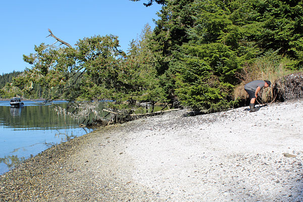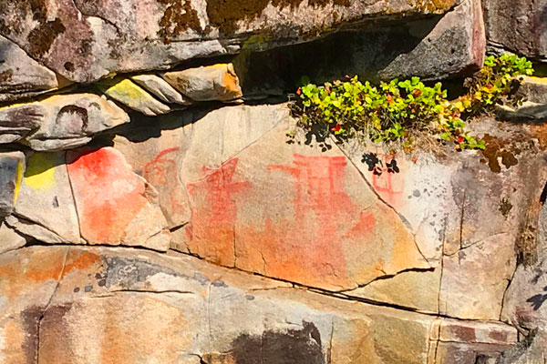

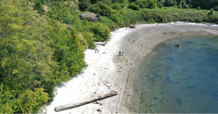
Figures walking along an old clam garden beach. Photo by Barb Dinning
If 2023 was any indication, tourism in BC is bouncing back from the COVID-19 lockdown. Domestic and international visitors are starting to come back to the world-renowned landscapes of our beautiful province, all with their own ideas of what they’ll find, and what they’ll go looking for. For many, connecting with local cultures rates high on their list.
Indigenous cultural tourism offers travellers opportunities to connect with the original stewards of these lands, to experience the cultures that have shaped, and been shaped by, BC’s environment. North Vancouver Island is rich in cultural history, and many First Nations are, in turn, looking to engage the people who are visiting their homelands. As a potential hub for Indigenous cultural tourism there is a unique opportunity to strengthen local economies and build relationships that foster meaningful reconciliation.
In November 2023, MaPP hosted a workshop to strengthen the tourism sector in North Vancouver Island and lay the groundwork for growing Indigenous Cultural Tourism. Members of the tourism industry met in Campbell River, collaborating to chart a path forward.
Research from Destination BC and Destination Canada shows that Indigenous cultural tourism is the fastest growing sector of the tourism industry, projected to grow from $1.78B to $6B in direct contributions to the Canadian GDP over the coming years. This research highlighted that visitors want deeper connections with the place they’re visiting and the people who live there. It also emphasized that there’s a fine line to walk.
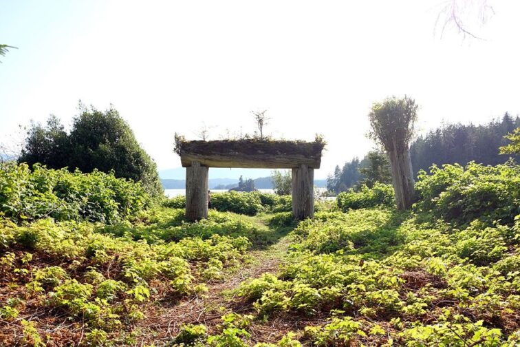
Houseposts. Photo by Barb Dinning
Nations want tourists to learn and be engaged, but not at the expense of cultural sites, or the very cultures they’re looking to engage with. According to Brian Collen, General Manager of Knight Inlet Lodge, there’s a “fine line between an authentic Indigenous experience and an exploitative one”. For that reason, it’s critical that Indigenous communities are directly involved in these tourism operations. Collen believes that successful cultural tourism is built on “real partnerships between tourism operators and leadership within the Nations”.
Megan Humchitt agrees. As an Indigenous Tourism Specialist at Indigenous Tourism BC, she spends a great deal of time building these kinds of healthy partnerships. “These collaborations between Indigenous and non-Indigenous stakeholders are key to building a sustainable tourism industry.”
Alongside partner organizations, MaPP is working to support the re-growth of NVI’s tourism economy post-pandemic. At their workshop in the fall, the MaPP partners learned that this re-growth relies on having a prepared tourism sector, with the capacity to build strong partnerships. According to Humchitt, it all starts with “picking up the phone,” but there are still some gaps in the resources available to tourism operators and First Nations alike.
In the coming months, the MaPP partners will be working with the tourism industry to develop those resources and build bridges between First Nations with tourism operators. This is just one of the recommendations from the workshop—those who are interested can contact Nanwakolas Council for the full list of recommendations in the recent report.
Ultimately, Indigenous Cultural Tourism is an opportunity for reconciliation. According to Humchitt, cultural tourism can “open a safe space for education, dialogue, and respectful exchanges.” That is where the rubber meets the road. By strengthening relationships, MaPP hopes to support tourists and locals alike to engage more deeply with the territories they find themselves on. In-turn this can empower Nations to share their stories and lead the way to a future of sustainable tourism in the region.