Marine Plan Partnership for the North Pacific Coast (MaPP)
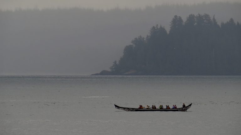
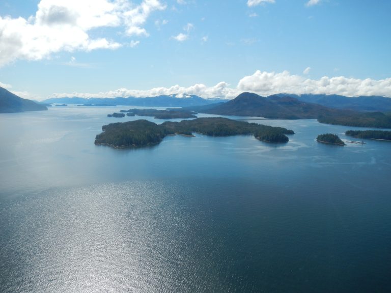
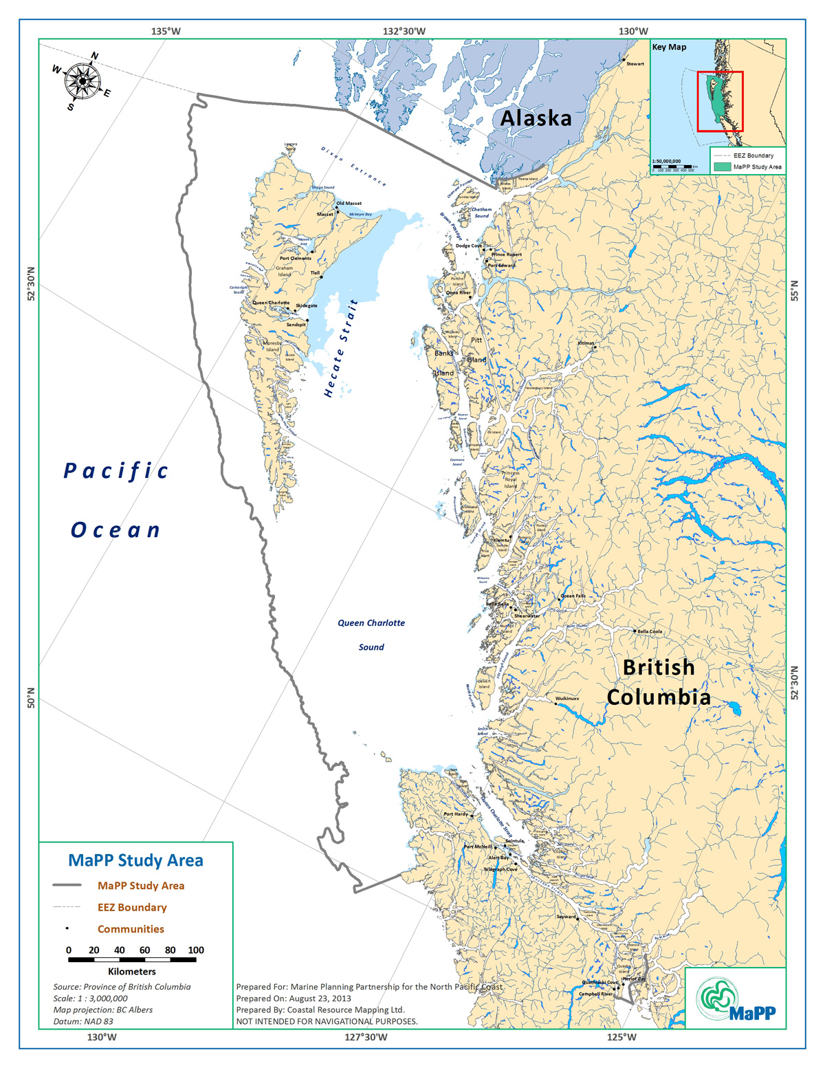
The MaPP initiative is a partnership between the Province of British Columbia and 17 member First Nations that developed and is implementing marine use plans for B.C.’s North Pacific Coast. The MaPP region is divided into four sub-regions: Haida Gwaii, North Coast, Central Coast and North Vancouver Island.
The initiative used the best available science and local and traditional knowledge to develop four sub-regional plans and a regional action framework.
Marine stakeholders representing multiple sectors provided input and advice to the planning process via advisory committees: four sub-regional and one regional. In addition, a Science Advisory Committee gave expert technical and scientific knowledge and advice. Stakeholder consultation is ongoing as the marine plans are implemented.
The MaPP plans provide recommendations for key areas of marine management, including uses, activities and protection. The plans inform decisions regarding the sustainable economic development and stewardship of British Columbia’s coastal marine environment.

Quick Links to Sub-Regional Marine Plans, Marine Plan Overviews and Implementation Agreements, the Regional Action Framework and the MaPP Implementation Strategy 2015-2020
MaPP News
MaPP launches new partnership with Coast Funds
Supporting the next wave of collaborative marine stewardship on the North Pacific Coast Healthy, thriving communities and marine ecosystems along British Columbia’s North Pacific Coast matter to us all. As of Spring 2024, the Marine Plan Partnership for the North Pacific Coast (MaPP) strengthens its role in marine stewardship by joining with Coast Funds, an […]
The four sub-regional marine plans were completed in April 2015 and the regional action framework was completed in May 2016.
Implementation agreements were signed in August 2016, formalizing the plan implementation process. Implementation activities, based on priorities identified in the marine plans and the Regional Action Framework, are underway.