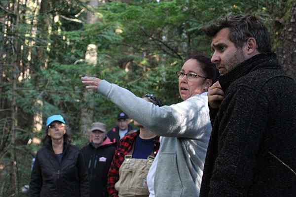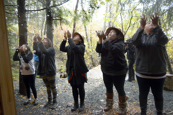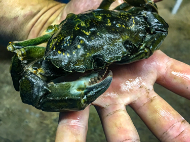

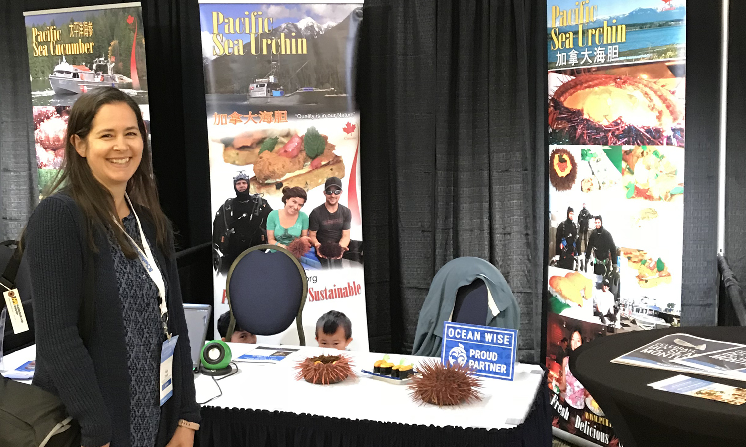
Sally Cargill visits a booth promoting locally harvested sea urchin. (Photo credit: Andy Witt)
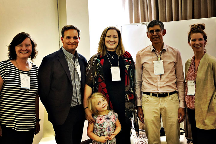
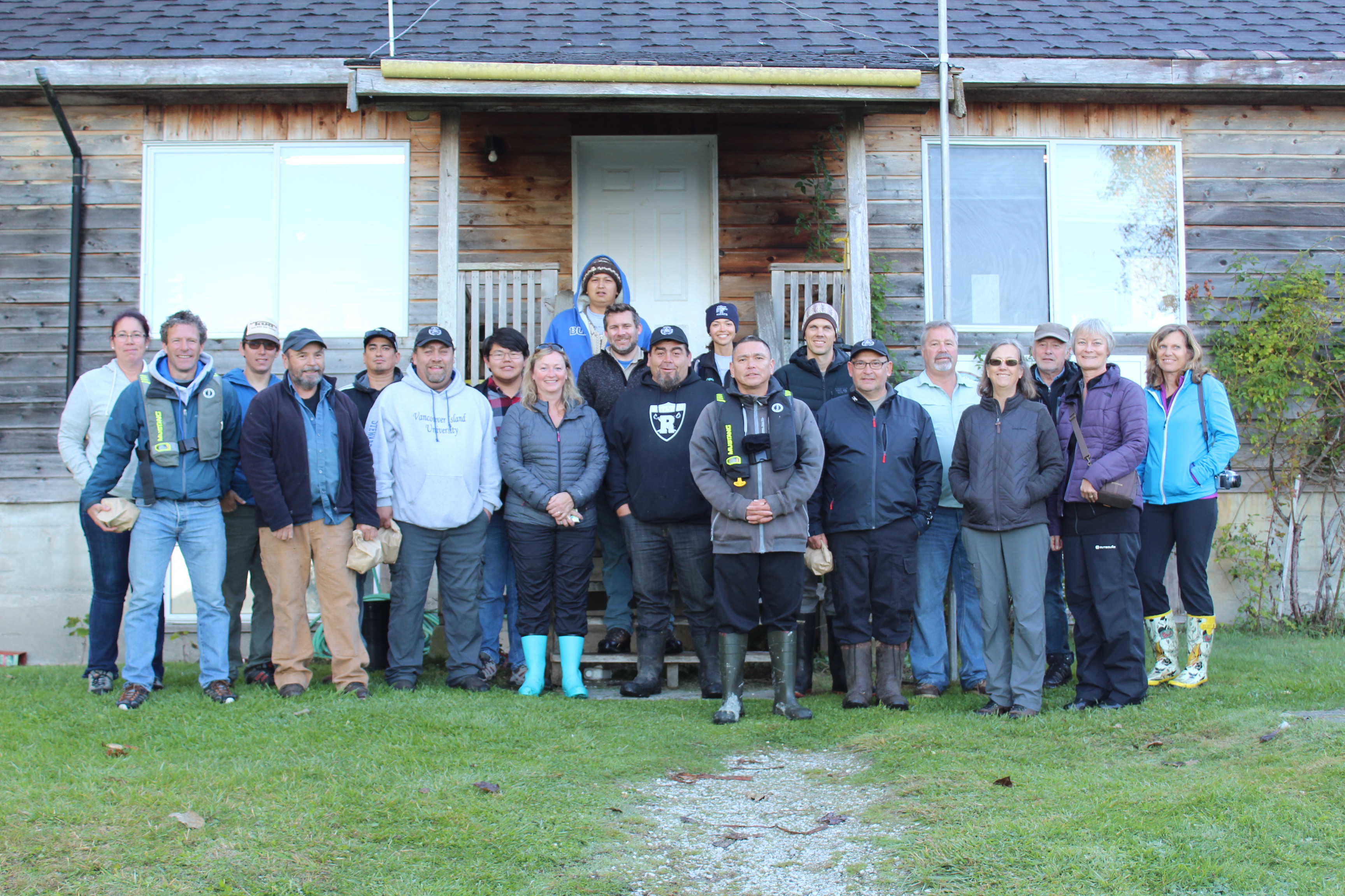
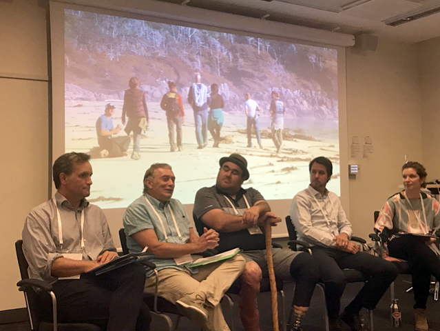
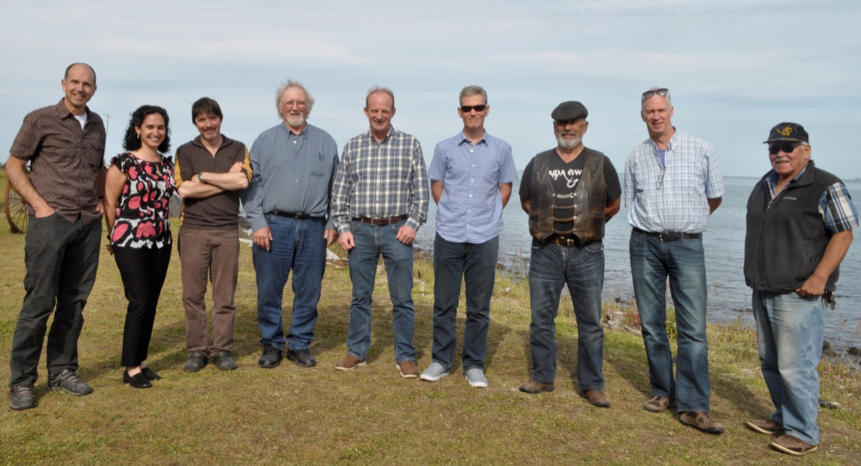
On behalf of the Marine Plan Partnership (MaPP), Dr. Myron Roth, Industry Specialist – Aquaculture & Seafood with the B.C. Ministry of Agriculture, moderated a workshop for 40 people, Aquaculture Resources for Commercialization. Held on June 11, the workshop was part of the B.C. Seafood Expo, a large seafood industry trade event, held in conjunction with the annual B.C. Seafood Festival in Comox on Vancouver Island.
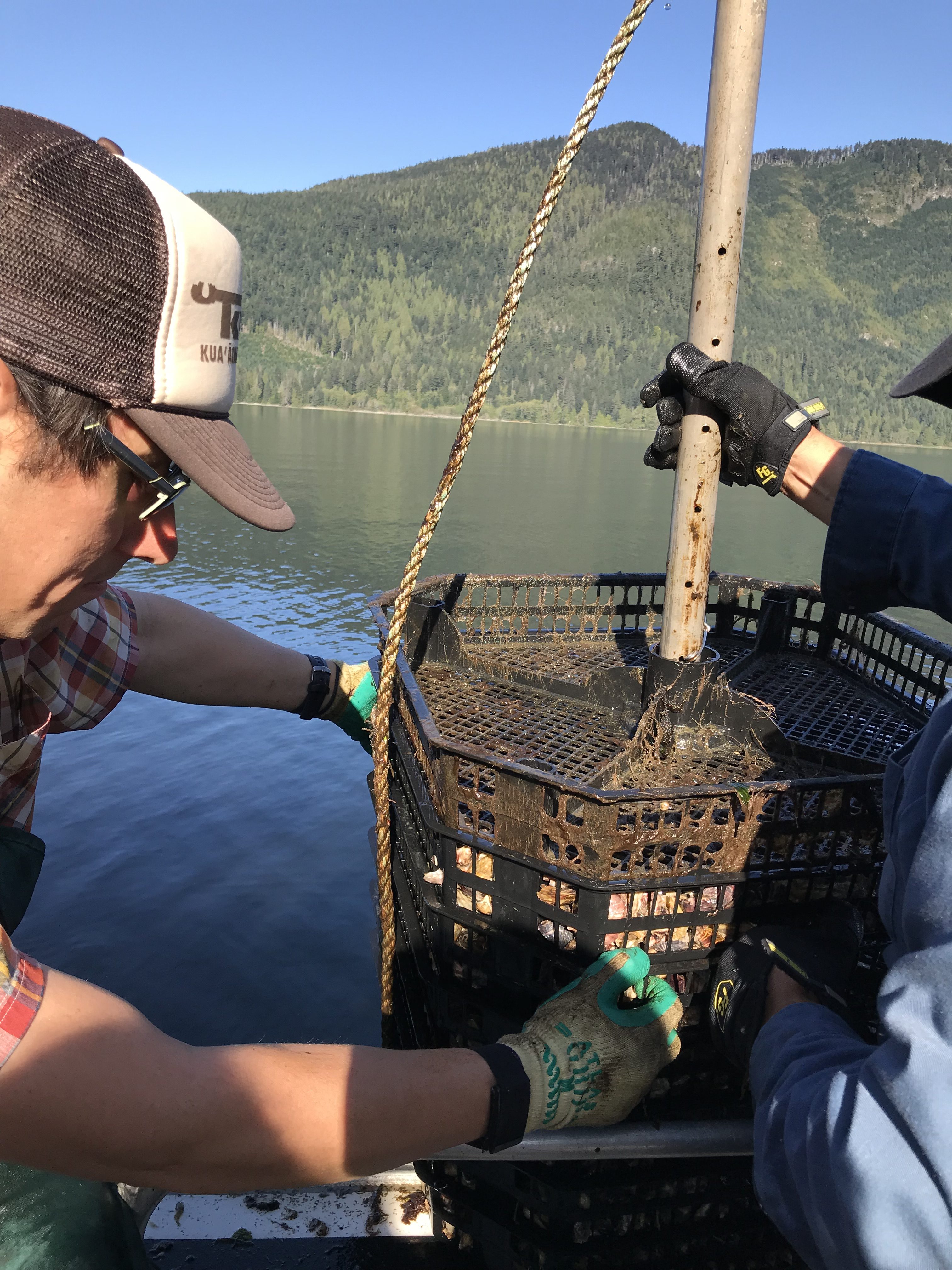
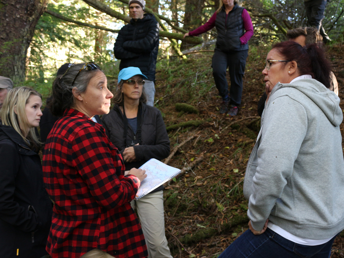
Through the MaPP initiative, First Nations communities in the Haida Gwaii, North Coast, Central Coast and North Vancouver Island sub-regions are implementing marine plans, which include objectives and strategies for shellfish aquaculture and sustainable marine resource development. First Nations in other coastal areas of B.C. have been actively engaged in seafood economic opportunities through research, pilot and commercial projects. The goal of the workshop was to present an update on these various projects and to facilitate a broader discussion on financial and business resources currently available to First Nations communities for the development of business opportunities.
The workshop began with opening remarks and welcome by Chief Richard Hardy, K’ómoks First Nation/Pentlatch Seafoods.
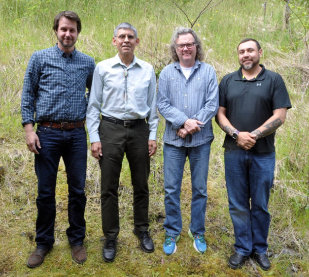
Presentations kicked off with updates by representatives involved in shellfish aquaculture projects in the MaPP sub-regions. They were:
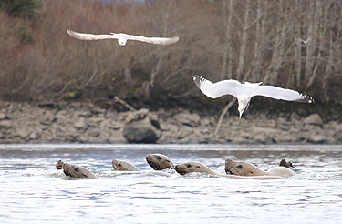
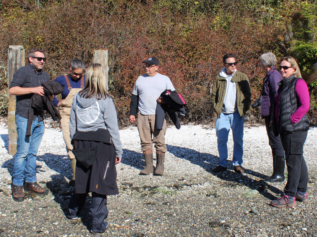
- Central Coast: Sally Cargill, Ministry of Forests, Lands, Natural Resource Operations and Rural Development
- North Vancouver Island: Andy Witt, Ministry of Forests, Lands, Natural Resource Operations and Rural Development
- Haida Gwaii: Barry Wijdeven, Ministry of Forests, Lands, Natural Resource Operations and Rural Development
- North Coast: Brian Kingzett, Coastal Shellfish Corporation
“Through the implementation of the Central Coast Marine Plan, First Nation and provincial partners are establishing shellfish aquaculture pilot sites to better understand if and where there might be opportunities for sustainable economic development that supports community interests,” said Cargill. “The MaPP ARC workshop at the B.C. Seafood Expo was a great networking and learning opportunity for both of the MaPP partners.”
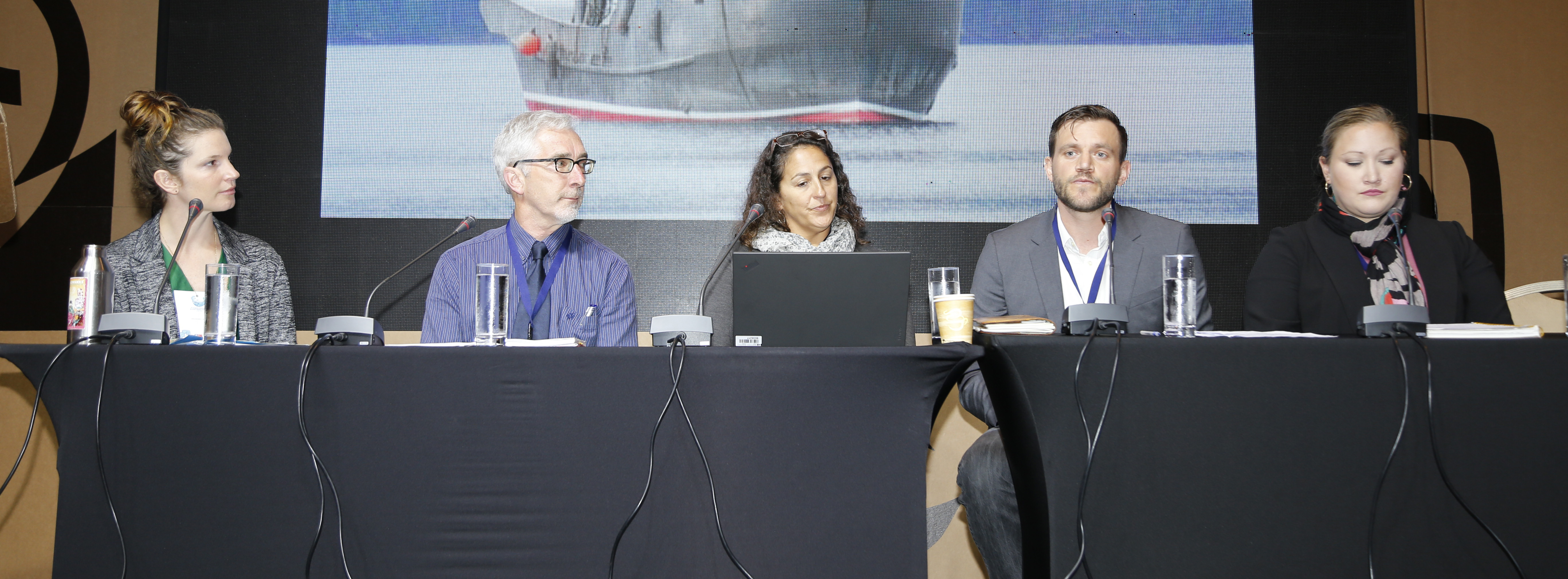
A series of presentations followed. The first, on business planning, lessons learned in the agri-business sector, the value of best practices, and case studies from top producer success stories, was presented by Trish Laugharne and Anne Skinner of the Sector Development Branch, Partnerships and Outreach, B.C. Ministry of Agriculture.
Next, Kelly Masson of the Pacific Integrated Commercial Initiatives Business Development Team, Castlemain Group, discussed aquaculture funding opportunities and how to harness them, using a funder’s perspective. Valuable insight on how to use business planning and feasibility assessments for developing eligible projects for funding and what funders look for in a successful application.
The session finished with a presentation by Lynn Lashuk and Rob Cunningham of BMO Bank of Montreal, who gave an overview of BMO’s Aboriginal Banking Services, basic requirements of their lending programs and an overview of branches and staff delivering their services.
The workshop concluded with a question and answer period.
“We discussed ways to open up capital funding for aquaculture projects that will unlock potential for coastal First Nations communities,” said Dr. Roth. “We also got updates on various projects and had a good discussion on financial and business resources for First Nations communities to develop opportunities in the seafood value chain.”
Part of this discussion highlighted the value of economic partnerships that have led to development of several successful aquaculture projects in B.C.
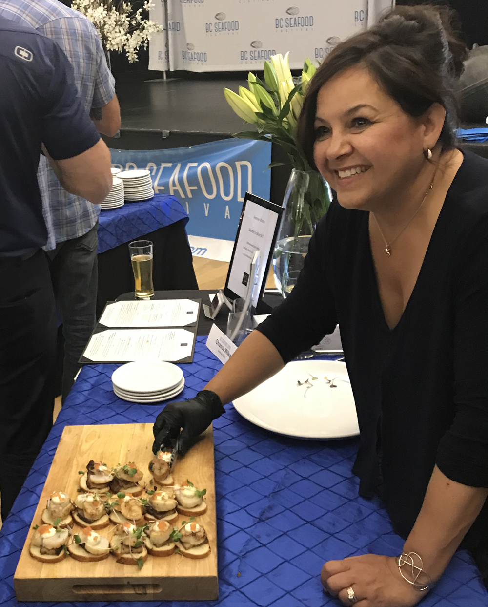
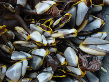
Expo delegates sampled local seafood. (Photo credit: Andy Witt)
Another event held the same day was a workshop co-ordinated by Ministry of Jobs Trade & Tourism (JTT), Exploring International Markets for Indigenous Seafood, which focused on business opportunities for B.C. First Nations and making connections with international clients. As well, an evening reception allowed attendees to sample a wide variety of B.C. seafood dishes from shellfish and finfish producers prepared by B.C. chefs, along with the chance to mingle with the JTT International Buyers Delegation.
For more information, visit B.C. Seafood Expo (https://bcseafoodexpo.com/) and B.C. Seafood Festival (https://bcseafoodfestival.com/)
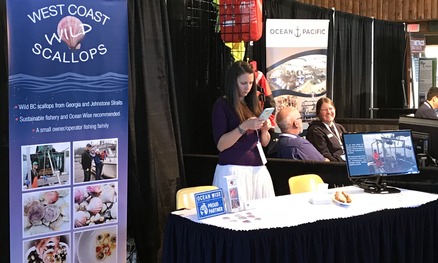
The tradeshow featured representatives of international companies. (Photo credit: Andy Witt)